The route is multi-terrain along the seafront, river and coast paths and rural lanes. There will be distance markers every 2km and a water station at 5km.
‘A must do race! Organisation MUCH better than some of the bigger events I have entered, great value. Am planning next years holiday around this race!’
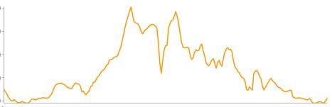
Elevation profile